Two halves of the same job at one of the largest refineries in North America: the custom software I built for the drone inspection program, and the enterprise GIS engineering behind the site's spatial data.
New scope · 2026
Engineering the refinery's enterprise GIS
My role has grown well past the drone program. I'm now the person turning the site's incoming data — CAD, survey, and drone sources — into one accurate, authoritative enterprise GIS. It's the GIS-specialist half of the job, it's a big step up, and it's where I'm headed.
Geodatabase standardization
CAD → GIS conversion
Survey control
Drone-to-GIS integration
Enterprise publishing
Drone Operations & Fleet
The aircraft, sensors, and high-risk environment behind the softwareExpand
High-value aircraft
Each airframe earns its place by reaching somewhere the others can't — 400 ft above a flare stack, sealed inside a storage tank, or docked on a rooftop running missions unattended.
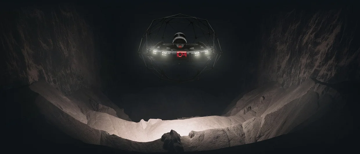
Flyability Elios 3 — confined-space inspectionA collision-tolerant caged drone that flies sealed inside tanks, vessels, and columns where no person safely can, mapping the interior with onboard LiDAR.
Flagship platform
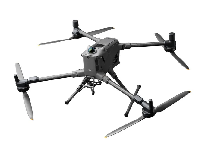
DJI Matrice 400
The heavy-lift workhorse — long endurance and swappable payloads for site-wide mapping, structure inspection, and the missions that need the biggest sensors in the air the longest.
Multi-payload · long-endurance · integrated night vision & LiDAR
Daily driver
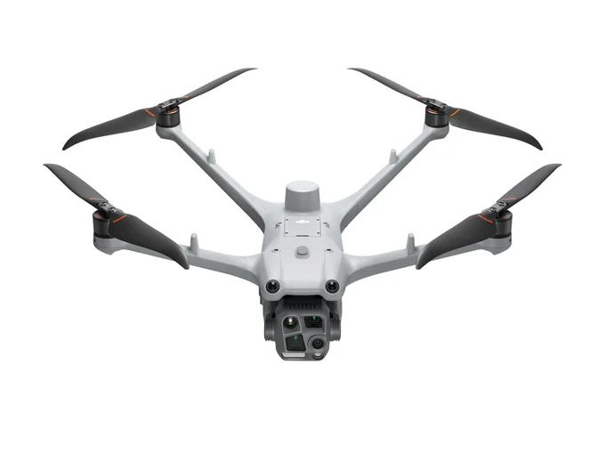
DJI Matrice 4T / 4TD
A compact quad carrying wide, telephoto, and radiometric thermal cameras in one gimbal — the everyday aircraft for thermal inspections and quick-turn captures. The 4TD is weatherized to live in the Dock.
Wide + tele + thermal · radiometric · RTK-capable
Automation
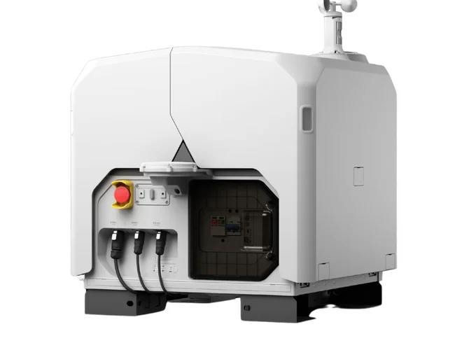
DJI Dock 3
A weatherproof drone-in-a-box that houses the M4TD and launches it on a schedule — recurring inspection routes flown unattended, with the aircraft returning to charge itself between missions.
24/7 autonomous · IP56 · vehicle-mountable
Tight interiors
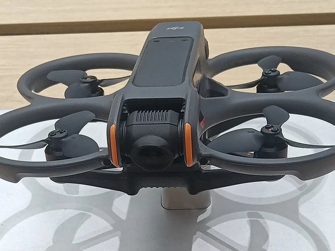
DJI Avata
A ducted FPV quad with full prop guards for flying close-quarters interiors and structures — first-person immersive control and 360° capture where a full-size aircraft won't fit.
Prop-guarded · FPV · 360° interior capture
What the fleet carries
The aircraft are delivery vehicles — the value is in the sensors, and reading what they return.
OGIOptical Gas Imaging
Makes hydrocarbon and VOC leaks that are invisible to the eye show up as smoke on screen — an EPA-recognized leak-detection method, and the highest-stakes sensor on the fleet in a refinery.
ThermalRadiometric IR
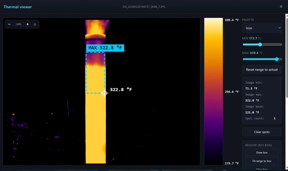
Per-pixel temperature for spotting hot bearings, blocked lines, insulation loss, and tank levels — verified on-site to within 0.1 °F of the commercial reference tool.
LiDARPoint cloud
Dense 3D scans of structures and confined-space interiors that feed the refinery's digital-twin and as-built models.
AcousticUltrasonic
Pinpoints pressure leaks and electrical partial discharge by sound, from a safe standoff distance.
RTK GNSSD-RTK survey
Centimeter-level georeferencing so orthomosaics and models line up with real-world coordinates.
A high-risk environment
Flown by the book
Garyville is a live refinery processing over half a million barrels a day. Every flight happens over active process units, around flammable product, and inside airspace and ground hazards that leave no room for improvisation. The margin for error is the whole job.
FAA Part 107 — certificated remote pilot; every mission planned and logged
Confined-space entry — flying sealed tanks and vessels so people don't have to
H2S & hot-work protocols — gas monitoring and permits on every applicable job
Active-unit awareness — coordinating with operations around live equipment
Site safety training — refinery-specific certifications kept current
Pre-flight airspace checks — the reason I built FlightLive, below
The Software
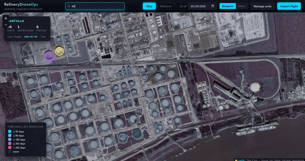
RefineryDroneOps
The site's quarterly inspection dashboard
Maps ~96 process-unit polygons with sub-unit photo routing, a thermal viewer verified within 0.1°F of DJI's commercial reference tool, and self-contained single-file HTML snapshot publishing for vendor handoff. The system of record for how inspection flights get reviewed at the site.
~96 process units mapped0.1°F thermal viewer accuracy1 file snapshot publishing
Python · FastAPI · Leaflet
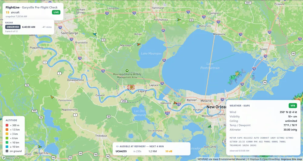
FlightLive
Pre-flight airspace check for the site's drone crews
One locked map of live aircraft, METAR weather, and animated NEXRAD radar around the refinery. The Rust backend classifies aircraft behavior, detects airspace conflicts by dead-reckoning, and predicts whether an aircraft will be audible on site — all shipped as a single 6 MB executable.
Byte-level reverse engineering, in daily production use
When DJI's official SDK failed across camera firmwares, I reverse-engineered DJI's proprietary APP3 thermal storage and FLIR's FFF binary container — re-encoding radiometric data via Planck-equation inversion, accurate to <0.01°C round-trip. Ships as one offline .exe used daily by the inspection team.
<0.01°C round-trip error5+ DJI camera models1 .exe offline & batch
Compares monthly drone captures of pipe-support spring cans to detect lever movement, corrosion, and physical damage — then generates color-coded PDF reports. What used to be a manual, photo-by-photo review now runs as a pipeline.